1、System Introduction
Built on a professional GIS engine, this large-scale 2D and 3D integrated geographic information system supports the fusion and seamless switching of multi-source data, covering high-definition satellite images, DEM elevation data, vector data, 3D models, UAV oblique photography data, BIM models, laser point clouds, urban basic models, contour lines and elevation points.
It accurately reproduces real terrain, landforms and ground features. Combined with geospatial information, troop deployment data, military geographic data, route planning tools and 3D situational marking functions, the system provides highly humanized interactive operation and comprehensive spatial visualization support for military mission scenarios.
2、Device Types
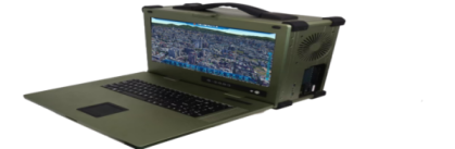
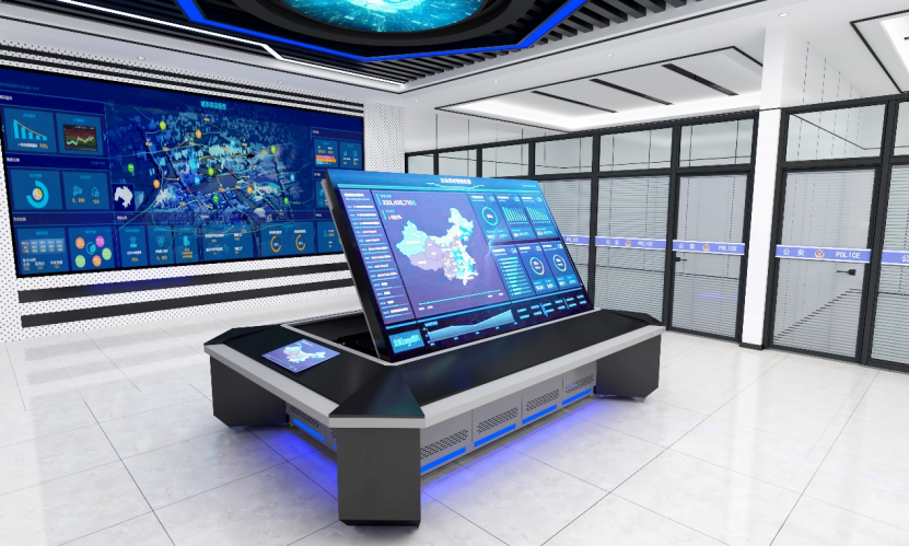
The system is available in two configurations: 86-inch lift-type device and portable device.
The lift-type model is designed for fixed command venues, while the portable version supports flexible field mobile command. Both types provide intuitive geographic information support and auxiliary decision-making capabilities for military drills, emergency rescue, urban planning and other scenarios.
Ø 86寸升降式三维数字电子沙盘
Ø 便携式三维数字电子沙盘